
BATTLE PROVEN. MILITARY GRADE. ALL NAVIGATION.
Created during a combat deployment to Afghanistan in support of Operation Enduring Freedom (OEF), Tactical NAV was the first MGRS-focused navigation app available on all major app stores. Trusted by tens of thousands of users worldwide, it offers unparalleled precision, offline functionality, and military-grade security to support mission planning and enhance situational awareness. Combat-proven in diverse environments, it has played a crucial role in operational success and safety.
Download


Featured on


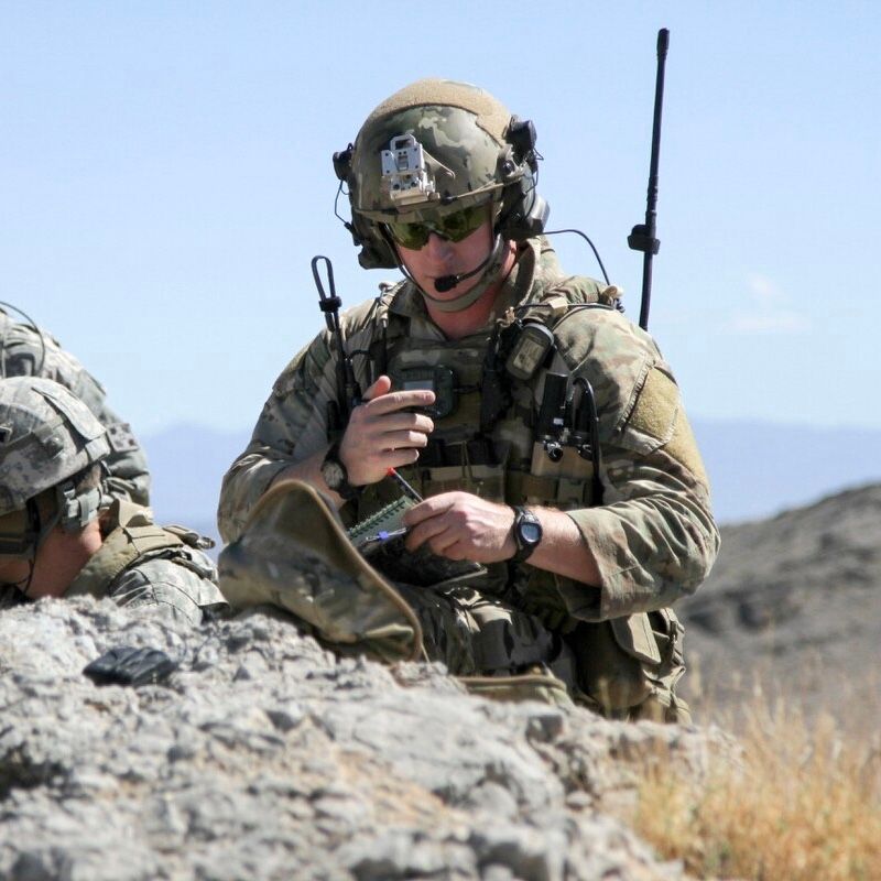
BUILT FOR WARFIGHTERS
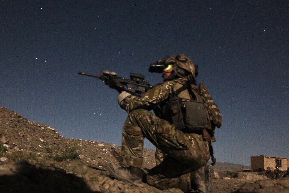
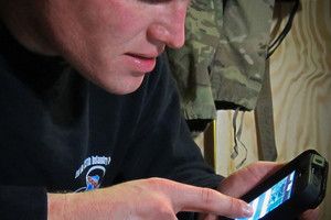
Tactical NAV is purpose-built for warfighters and created to help save U.S. military lives.


PRECISION ACCURACY
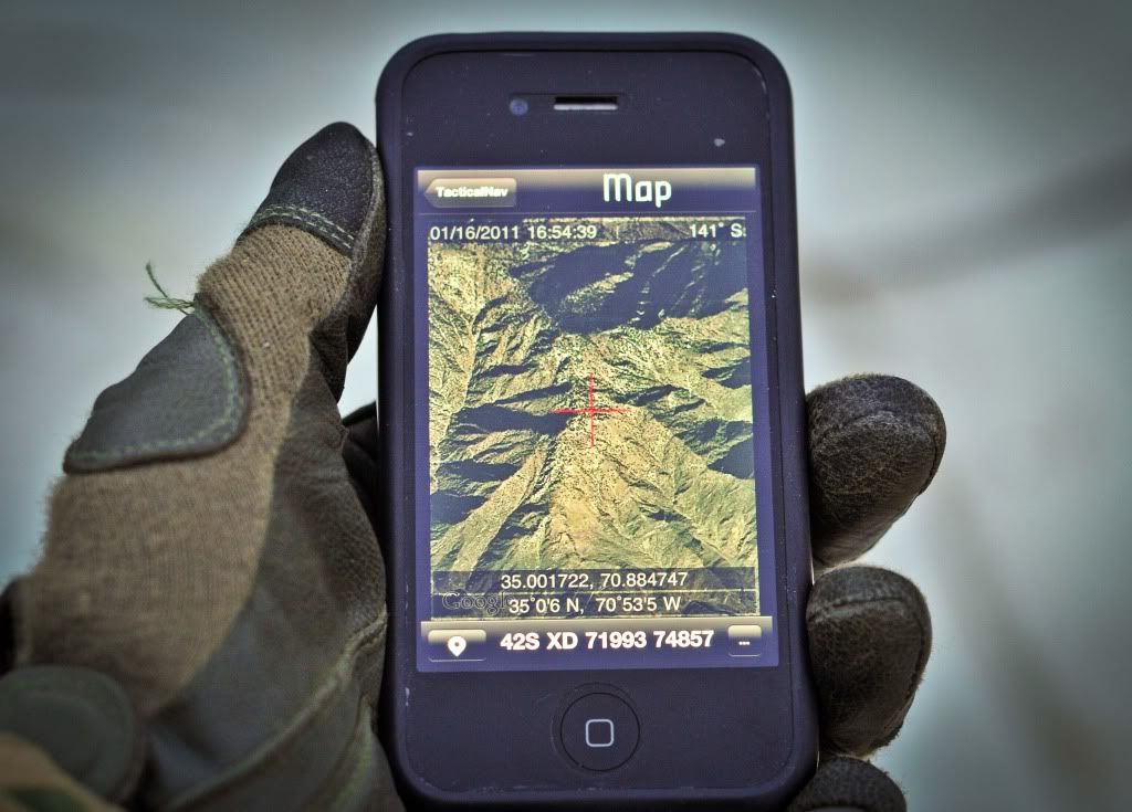
At its core, Tactical NAV is a precision targeting platform completely built for accuracy.


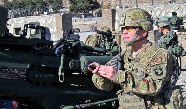
U.S. ARMY DESIGNED
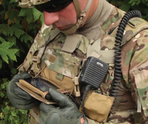
Every facet of Tactical NAV has been designed and inspired by U.S. military warfighters.


About
One Man’s Journey
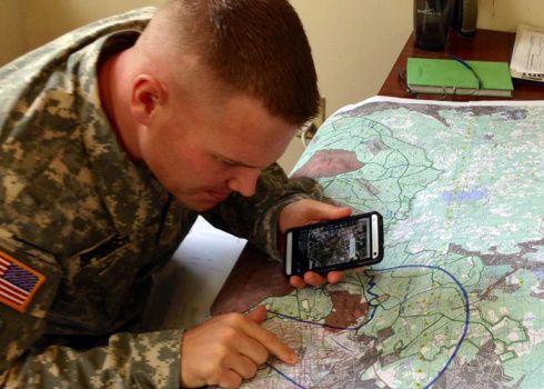
Built from the ground up in the rugged mountains of eastern Afghanistan, Tactical NAV comes from the mind of a U.S. Army Field Artillery officer who envisioned creating a low-cost, highly accurate mobile navigation platform specifically for military service members.
Tactical NAV's journey began in the notorious Pech River Valley of Kunar Province, Afghanistan.
U.S. Army Captain Jonathan Springer, a Fire Support Officer with the 101st Airborne Division (Air Assault), began developing the tactical navigation platform following the memorial services for Spc. Blair D. Thompson and Spc. Jared C. Plunk, who were killed in action on June 25, 2010. This was Capt. Springer's third combat deployment.
After pitching the idea and being turned away by the Department of Defense multiple times, Captain Springer remained resolute in his mission to develop Tactical NAV — even to this day. His ultimate goals were (and still are) to make a difference for other soldiers and honor the men and women who were killed and wounded in battle.
He used his life savings to continue working on the Tactical NAV project, hoping to save military lives and help his fellow service members accomplish their missions at home and abroad.
Tactical NAV officially launched on the App Store in February 2011 and then on Google Play soon after.
Tactical NAV is a real game-changer. I've used this app overseas and back at Fort Campbell during training and can confirm this is the real deal. Well worth it!

Jeremy, U.S. Army
I absolutely love Tactical NAV. The app is extremely accurate, has a great feature set, and the customer service is outstanding.
Josh, U.S. Air Force JTAC
I’m a Marine (GySgt), and Tactical NAV is my go-to app; it's perfect for dismounted operations and fires planning and integration. Top-notch mil-spec app.

Steve, U.S. Marine
Outstanding mapping and navigation app that provides detailed satellite imagery combined with very accurate MGRS capabilities. Probably the best out there.

William, Civilian
Features
All your navigational needs
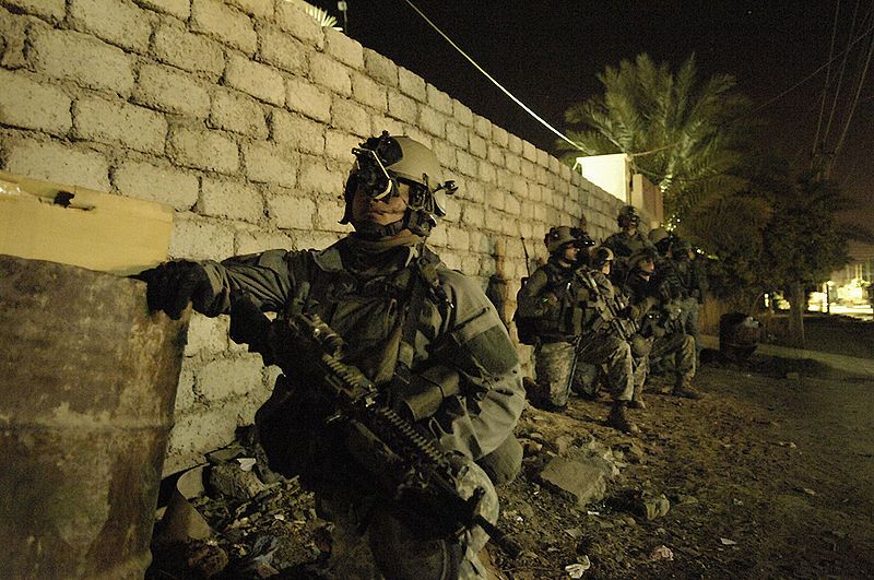
Originally created to save military lives, Tactical NAV was the first MGRS-focused app on all major app stores and is the only tactically proven app commercially available today.
Extensively tested to ensure safety and GPS accuracy, Tactical NAV has proven to be effective in a multitude of environments worldwide.
The app meets the World Geodetic System 1984 (WGS 84) standard, and its performance is on par with the AN/PSN-13 Defense Advanced GPS Receiver (DAGR) — a $2,500 device the U.S. Army purchases from Rockwell Collins, now known as Collins Aerospace.
Bottom line, Tactical NAV is a highly accurate and powerful mobile navigation platform built specifically for military users, law enforcement, hunters, and hikers. Trusted and used by tens of thousands of users worldwide, Tactical NAV continues to set the standard in mobile navigation.


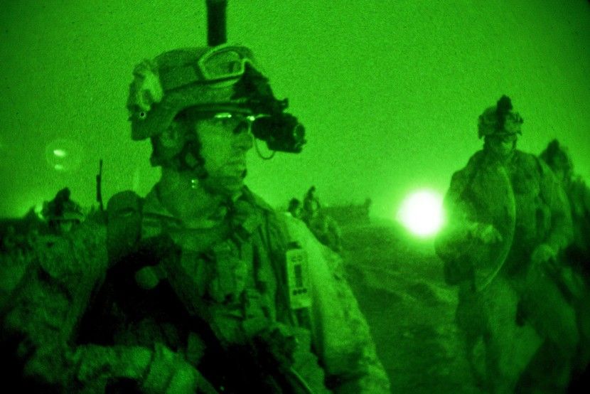
night mode
Night mode was a feature added when Soldiers were conducting dismounted combat operations. Warfighters asked for the ability to utilize the app with a red filter enabled function so they would be less likely to be noticed on patrol at night.
compass mode
Just like any good infantryman or artilleryman will tell you, you need a good compass to navigate. Compass mode enables users to accurately sight in on a location or target and it also assists in navigating to waypoints easily.


grid lines
Displaying grid lines gives Soldiers the ability to accurately locate themselves quickly. Grid lines and grid designators also help warfighters navigate effectively and are very useful in mission planning and other related functions.
Troop Tracking
Coming soon, Tactical NAV will give users the ability to track each other accurately. Warfighters understand first-hand how critical it is to be able to track friendly individuals and units in real time. Easily.


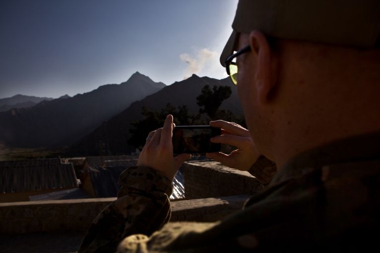
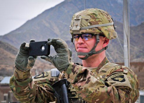
Photo mode
Photo mode is an ingenious feature that enables users to quickly snap photos with GPS coordinates stamped on the saved images. It’s extremely useful for conducting site surveys and performing blast analysis for use in the mission planning process.
GO to grid
Navigating and going to any grid coordinate effortlessly is extremely beneficial to users. With go to grid, users can input any coordinate and be taken to that location instantly. Users can then navigate or drop a waypoint depending on what they want to do.
Press
Featured Articles


Taliban sighted — ready, app, fire
The Sunday Times


iPhone app to map and plot Taliban positions
The Telegraph


In Afghanistan, armed with an iPhone
Global Post


U.S. and Afghan Forces Capture Enemy Insurgents
Business Insider


Tactical NAV Saves Warfighter's Life in Iraq
PR Newswire


Dedicated To
Those that serve
Tactical NAV is dedicated to the U.S. military and the "Screaming Eagles" of the 101st Airborne Division (Air Assault). It is especially dedicated to the brave Soldiers who were killed in action while fighting in the Pech River Valley of Afghanistan in 2010-2011. May God rest their souls, and may we never forget them.
All sales from Tactical NAV directly fund the application's continued development. Additionally, a portion of all proceeds goes to charities that specifically support disabled veterans and their families. By downloading Tactical NAV, you are not only enhancing your own capabilities but also making a meaningful difference in the lives of those who have sacrificed so much for our country.
If you have any questions or would like to provide feedback, you can contact Jonathan Springer directly at jon@tacnavx.com.